
3D Laser Scanning for Architecture & Construction
Point Cloud Processing & Deliverables
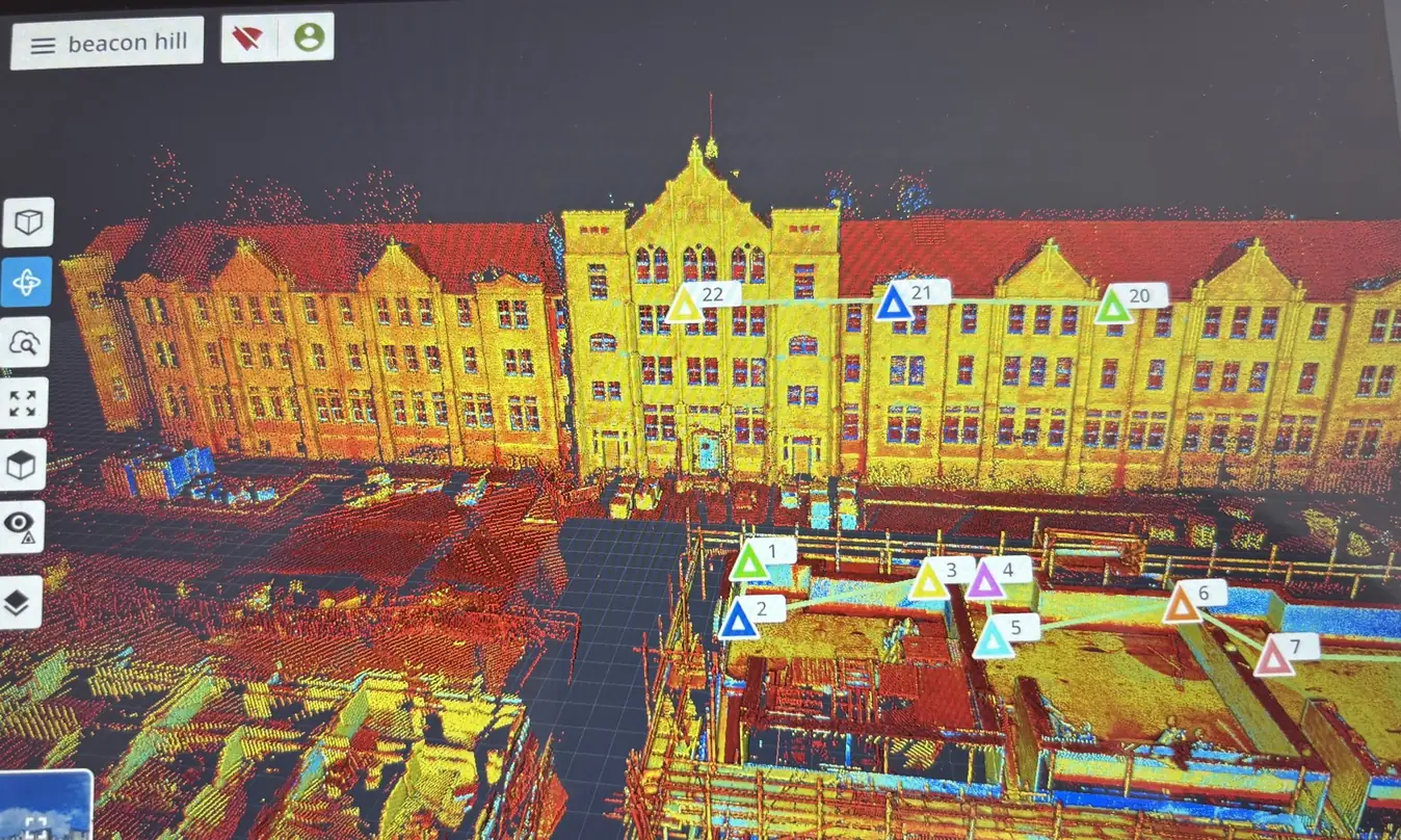
Raw scan data is only useful once it is registered, cleaned and delivered in a format your team can open. We process every project into a coherent, colourised point cloud ready to be measured and modelled from.
What's involved
How we deliver it
- Registration of all scan positions into one coordinated dataset.
- Clean-up of noise, transient objects and unwanted returns.
- Colourisation so the cloud reads as the real space, not an abstract mesh.
- Export in the formats your CAD and BIM software already uses.
Benefits
Why teams use it
- A single registered dataset instead of dozens of unaligned scans.
- Clean data that loads and navigates without fighting the software.
- Colourised clouds are far quicker to interpret and mark up.
- Measurements can be taken by anyone on the team, at any time.
Who it's for
Typical clients
- Design teams working directly in a point cloud
- BIM coordinators bringing survey data into a federated model
- Engineers taking dimensions off measured data
- Contractors reviewing site conditions remotely
Applications
Where this service is used
Delivered across the United Kingdom for architecture, construction and engineering projects.
- Point cloud references for design
- Remote site interrogation
- Dimensional take-off
- Coordination and clash review
Related services
Works alongside
Request a quote
Need point cloud processing on your next project?
Tell us the site, the scope and the deliverable you need. We will confirm what is achievable and quote against it.